

Our Services

Thermal Imaging (Non-Ag) - $200
Thermal imaging for applications other than agriculture will be priced on a case-by-case basis starting at $200.
As shown here, aerial thermal imaging can be used to identify predators that pose a threat to valuable livestock.
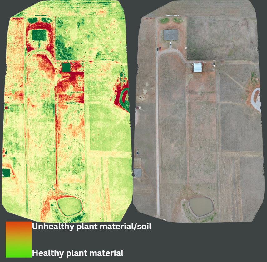
Agricultural Mapping & Analysis - Starting at $150
Mapping and analysis of agricultural fields. This produces a high-resolution map of soil quality and temperature.
Agricultural Mapping & Analysis costs $150 for the first 50 acres plus $10 for every additional acre.
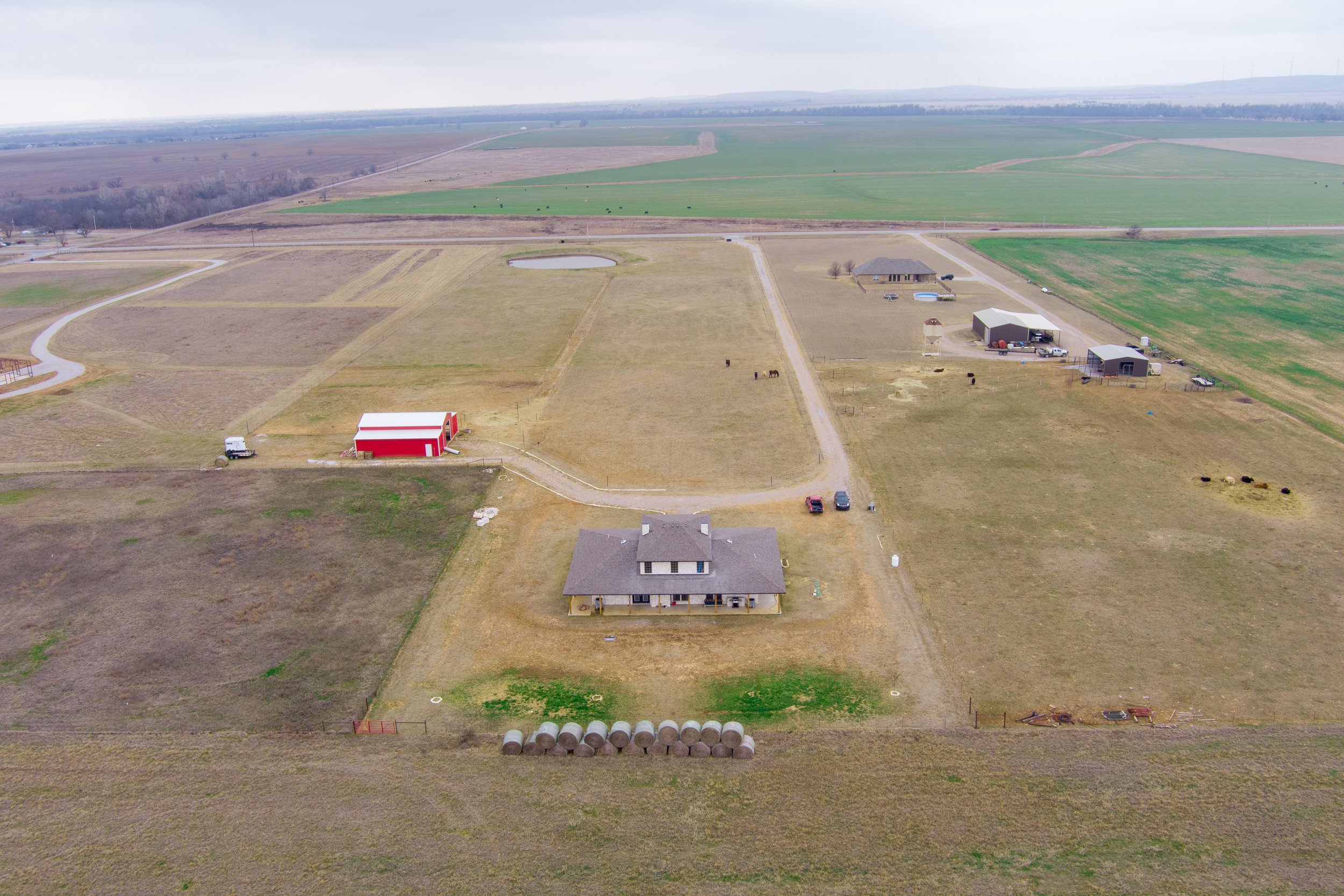
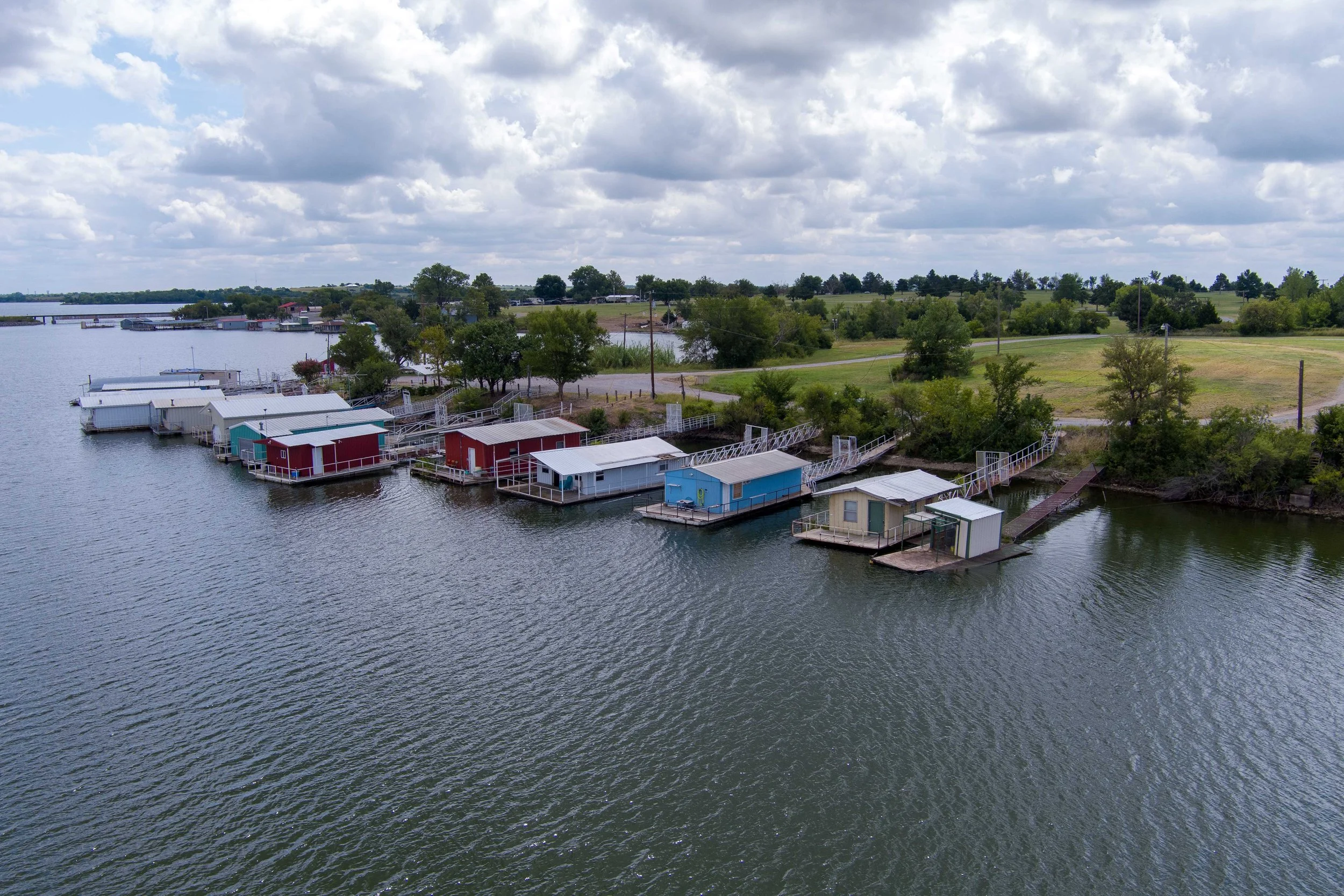
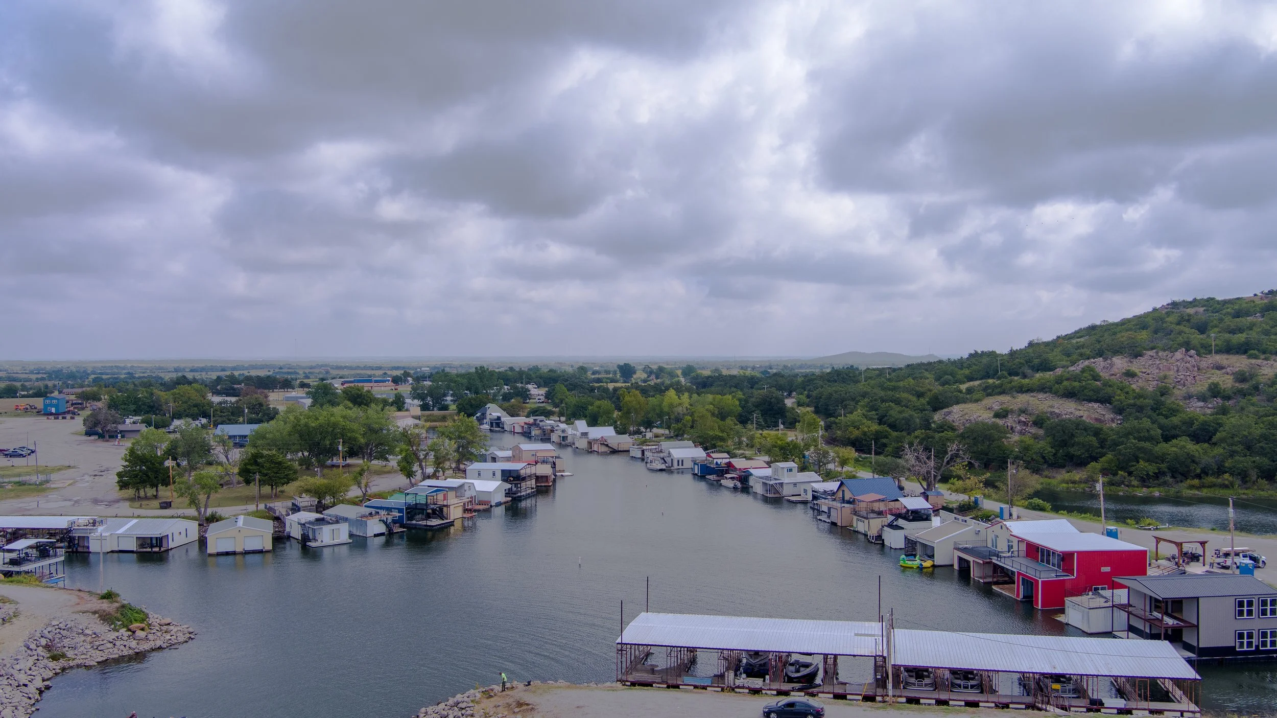
Real Estate Photography - $75
Indoor 360 Photography -$75
Still photography of real estate properties. We also offer a photography and raw video bundle. Keep scrolling down to learn more.
Real Estate Edited Video - $75
Edited and polished aerial video of real estate properties. You can see some examples of our edited real estate videos on our Portfolio or YouTube channel

Real Estate Raw Video addon - $25
Unedited videos of real estate property. This is a great option if you’re already a pro at digital marketing. This is an addon for the Photo package. You can see examples of our videography in our Portfolio and on our YouTube channel.
Real Estate Photography and Raw Video Bundle - $100
This bundle of our real estate photography and raw video services saves you $25.